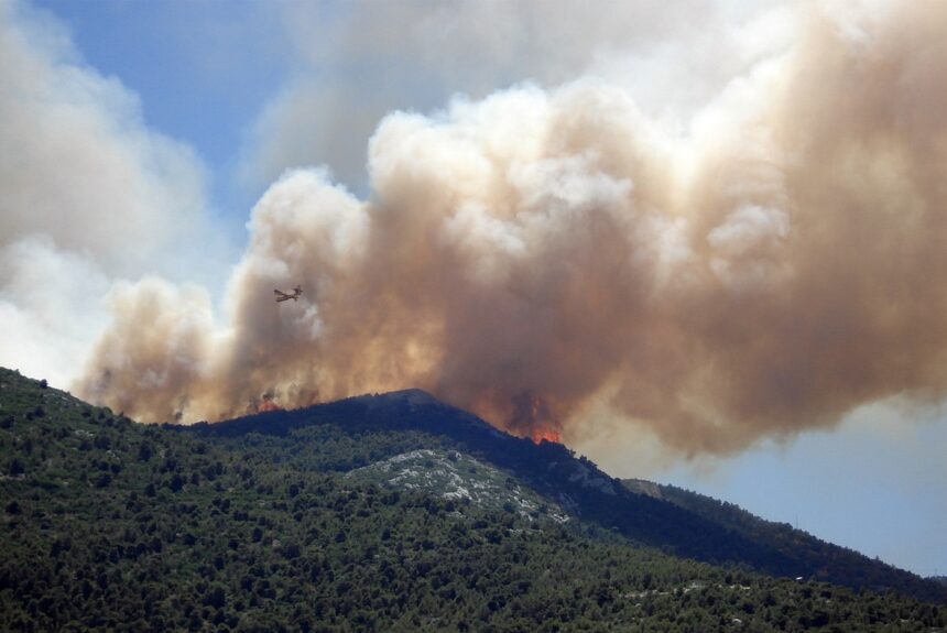
Aaron Larson of Power reports on how PG&E is reducing wildfire risk.

- Pacific Gas and Electric (PG&E) has partnered with Planet Labs to use satellite imagery and data analysis to identify and mitigate wildfire risks associated with vegetation near its power lines across its large service area in California.
- PG&E employs a “risk bowtie” model that quantifies both the probability of vegetation-caused ignitions and the potential consequences based on local fuel conditions to prioritize mitigation efforts.
- Technological advancements like hyperspectral imaging are expected to further enhance PG&E’s ability to characterize vegetation health, species composition, and other risk factors across its territory.
“‘Parsing through these different sources of variability is one of the real value-adds of artificial intelligence,’ Anderson said. ‘We’ve been working on developing finer and finer metrics of forest structure and forest health to be able to quantify some of those patterns, and then provide those metrics of forest health to PG&E’s team to help them better characterize these patterns and help them identify where these potential failure modes may occur.'”
Read the full article here.
The views and opinions expressed are those of the author’s and do not necessarily reflect the official policy or position of C3.
